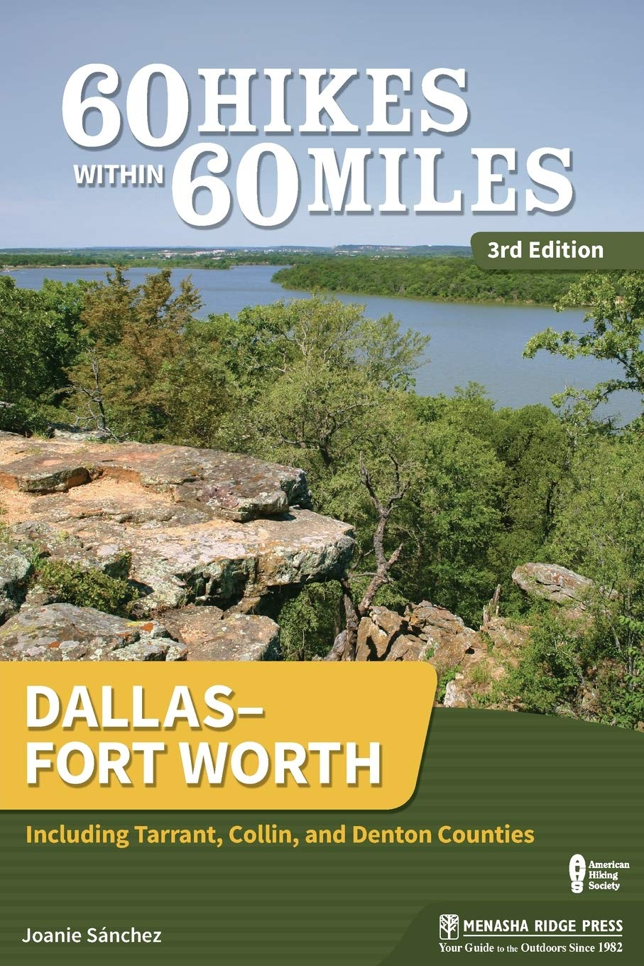
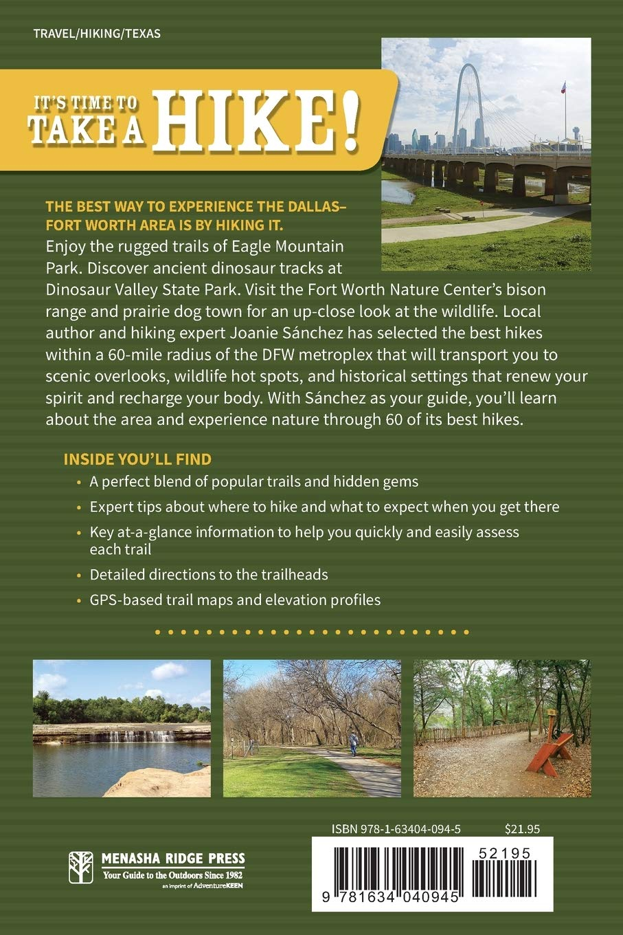
60 Hikes Within 60 Miles: Dallas–Fort Worth: Including Tarrant, Collin, and Denton Counties
Editorial Reviews
About the Author
Avid hiker, camper, and traveler Joanie Sanchez first fell in love with the outdoors when she had the opportunity to work one summer with the Youth Conservation Corps in Yosemite National Park. The following year, she served as a leader of the group, teaching and mentoring as she shared her passion for nature. Since then, her adventures have taken her backpacking across Europe, on a state-to-state biking tour across New England, and hiking in the Caribbean islands. She has traveled extensively throughout Mexico and has written an adventure guidebook to its Gulf Coast. A graduate of Yale University, Sanchez grew up and lives in the Dallas area. She spends her free time showing fellow hikers the beauty that Texas trails have to offer.
Excerpt. © Reprinted by permission. All rights reserved.
ARBOR HILLS LOOP
- DISTANCE & CONFIGURATION: 2.3-mile loop
- DIFFICULTY: Easy–moderate
- SCENERY: Blackland prairie, riparian forest, upland forest
- EXPOSURE: Partially shady
- TRAFFIC: Heavy
- TRAIL SURFACE: Paved path
- HIKING TIME: 55 minutes
- DRIVING DISTANCE: 2 miles from Plano Pkwy. and Midway Rd.
- ACCESS: Daily, 5 a.m.–11 p.m.; free
- MAP: plano.gov/documentcenter/view/18597
- WHEELCHAIR TRAVERSABLE: Yes
- FACILITIES: Restrooms, water fountains, picnic tables, playground
- CONTACT: plano.gov
- LOCATION: 6701 Parker Rd., Plano
- COMMENTS: Dogs are allowed but must be leashed.
THIS TRAIL WINDS its way slowly uphill, moving from wetland to prairie to forest before looping back to the beginning. On any sunny weekend, you’ll find the trails here bustling with families.
DESCRIPTION
In West Plano, the 200-acre Arbor Hills Nature Preserve is laid out in three sections: Blackland Prairie, Upland Forest, and Riparian Forest. On any given weekend you’ll find the parking lot busy. Most visitors―young parents strapping their kids into strollers and young professionals leashing their dogs―are regulars who live in the area, already have their favorite routes in mind, and disappear down the trail within seconds. For newcomers, a map at the trailhead describes the three zones, offering a wealth of information for the nature maven, including the types of trees and animals you can find in each zone, and displays a map of the entire trail network. In addition to the paved trail, Arbor Hills boasts some primitive nature trails. These dirt trails are unstructured, and their access points unmarked, disappearing into the woods at various spots along the main paved trail.
The trailhead is inside the pavilion and picnic shelter adjacent to the parking lot. Follow the paved trail south through the pavilion and past the playground toward West Parker Road. The trail quickly loops back north, heading into the Riparian Forest habitat. Mountain bikers are welcome here, but they do not pose a nuisance―most head straight for the DORBA (Dallas Off-Road Bicycle Association) trail. At about 0.2 mile, pass that trailhead, which diverges into the brush to the left.
Continue down the trail and reach a bridge crossing a creek at about 0.35 mile. The dense trees here, which make up the Upland Forest habitat, form a relaxing canopy of shade and make this a nice spot for lingering and trying to identify some of the area’s avian inhabitants.
A little farther down the trail, just before the tree cover gives way to sky, you’ll pass a huge bur oak tree nestled among other hardwoods. Keep an eye to the ground on the right side of the trail. You’ll know you’ve reached it when you see its golf ball-sized acorns littering the ground; if you reach the stone bench, you’ve gone too far.
As you continue, the trees thin and the trail winds into the Blackland Prairie zone. This type of prairie, which is quickly disappearing because of urbanization, takes its name from its rich black clay soils. The prairie consists of tall grasses such as little bluestem, a bunchgrass that grows 2–4 feet tall. Wildflowers, such as Mexican hat, a red wildflower with a distinctive long, cone-shaped head; black-eyed Susan, a sunny yellow wildflower with a domelike head; and the bluebonnet, Texas’s state flower, abound. In the fall, when the flowers aren’t in bloom, the prairie is a dark mass of brittle yellow grasses that look black from a distance, thanks in part to the hundreds of spent flower heads. Visitors can often be seen here wandering the trails, entranced by the rippling of the tall grasses in the wind. The sun in this exposed area can be brutal in the summer, but you soon reenter forest just up the trail.
At 0.68 mile, you’ll reach a junction where you should turn left, heading uphill alongside the prairie. Another junction, at 0.83 mile, leads to a tower overlooking the preserve; the trail you’re on climbs to the tower the back way, so continue on this path, bypassing the turnoff. The trail continues, leaving the prairie behind as it heads slightly uphill, past wildflowers and into a forest of tall trees. To the right in the distance, you’ll see apartment complexes abutting the edge of the preserve.
At 1.5 miles, reach the lookout tower. You’ll usually find a few people at its railings enjoying the breeze and the views. You’ll also have a bird’s-eye view of the trail.
Back on the trail, you’ll head through the forest, following the path as it winds slowly downhill. The trail easily accommodates wheelchairs, and alongside the hikers, dog walkers, and joggers, I encountered a couple of folks in wheelchairs, happily enjoying the outdoors. I also couldn’t help but notice that the preserve’s smooth, gentle slopes lured a surprising number of new and young parents, who were enjoying a nature walk and a workout as they pulled toddlers in little red wagons uphill or pushed strollers and baby carriages downhill.
At 1.63 miles, you’ll find a wheelchair-access point. Head left, following the trail another 100 feet to a turnoff, on which you should again head left. Cross a couple of bridges, then, at 1.98 miles, come to a trail split where you’ll bear right. Heading south now, reach the parking lot and trailhead from the other end.
NEARBY ACTIVITIES
Southfork Ranch (southfork.com), made famous on the TV show Dallas, lies just west of Plano. Its magnificent white mansion served as the home of the show’s infamous J. R. Ewing from 1978 to 1991. The ranch was opened to the public in 1985 and continues to offer daily tours of the mansion and grounds. To get there from Arbor Hills, go east 15 miles down Parker Road toward Lavon Lake. Turn right onto Hogge Road.
GPS TRAILHEAD COORDINATES N33° 02.850′ W96° 50.917′
DIRECTIONS Take the Dallas Tollway north to the Parker Road exit. Turn left on West Parker Road. Arbor Hills Nature Preserve is a mile ahead on the right, past Midway Road.
Related products
-

Lonely Planet Texas 5 (Travel Guide)
$17.99 -

Moon Dallas & Fort Worth (Travel Guide)
$14.45 -

Texas Bucket List Adventure Guide: Explore 100 Offbeat Destinations You Must Visit!
$14.89 -

Gardening in Texas: Gardening Log Book for Local Backyard Gardeners | Crop Diary for Beautiful Greenery | Unique Planting Gifts
$8.99


